| HOME | PROTECTION | NATURE | PLAN YOUR VISIT | FAQ | JOIN/DONATE | ABOUT |
| Quartzville National Backcountry Byway |
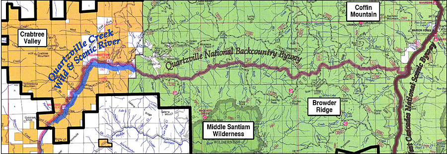 |
| Quartzville National Backcountry Byway provides paved access through the heart of the proposed Douglas-Fir National Monument. It is relatively flat for the first 25 miles in the proposed Monument until it reaches the Willamatte National Forest boundary, where it continues 24 more miles as a single-lane narrow, winding, steep paved road with turnouts. Watch for pedestrians, bicycles, oncoming traffic and rock slides. Along the western 25 miles, Quartzville Creek is designated as a Wild and Scenic River. Numerous roadside (dispersed) camping spots are located along the way. |
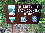 Backcountry Byway |
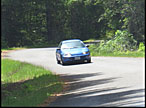 Auto touring |
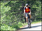 Bicycling |
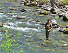 Fishing |
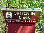 Wild and Scenic River |
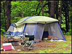 Dispersed camping |
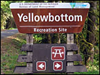 Campground |
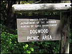 Picnicking |
 Coffin Mountain |
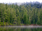 Crabtree Lake |
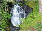 Waterfalls |
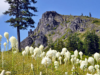
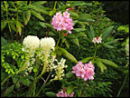 Wildflowers |
| Return to Plan your Visit Page |