|
|
| HOME | PROTECTION | NATURE | PLAN YOUR VISIT | FAQ | JOIN/DONATE | ABOUT |
| DOIN' THE DOUG - TRAIL GUIDES |
|
Cone Peak Trail
|
| Length: 3.5 miles Difficulty: Moderate Elevation Gain: 4,130 - 5,000 feet William Sullivan [WS 16] says the trail is 5.2 miles roundtrip, with an elevation gain of 1050 feet. Forest Service Trail #3408 Site: Cone Peak |
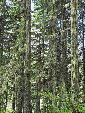  including Alaskan cedars, rare in the Cascades. William Sullivan notes that "the entire ridge from Iron Mountain to Echo Mountain is a biological wonderland, featuring 17 types of trees (more than any other area in Oregon) and 60 plant species considered rare or unusual in the Western Cascades." The Cone Peak trail climbs along the middle of the ridge running from Iron Mountain to Echo Mountain. In the summer along this trail, you can see many wild flowers. Most of the pictures of wild flowers to be seen in the High Meadows Flowers Page are from Cone Peak, as are nearly half of the Deep Woods Page. If you look up from the wildflowers, you will see magnificent views 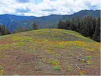 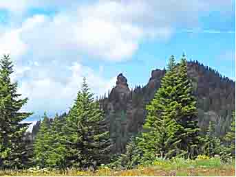
of Iron Mountain, as well as south across Tombstone Pass, east to South Peak, 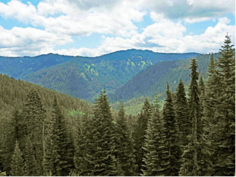 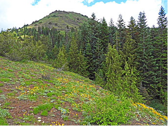 and to Echo Peak beyond. 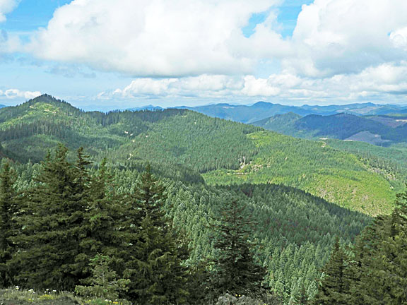
If you go along the trail past the meadows a little way towards Iron Mountain so you can see northeast, you will catch a glimpse of Mt. Jefferson. 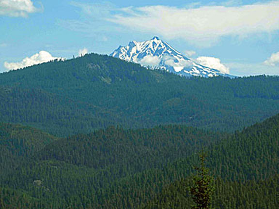
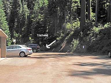
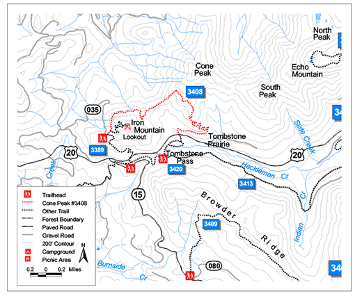 Directions: Turn south off Highway 20 at mile 63.3 (at the Tombstone Pass SnoPark). From Sweet Home, this is 34.6 miles to Tombstone Pass. The Tombstone parking area south of Highway 20 is the access point for several trails.
The trailhead is at the end of the parking lot, past the restroom, near a message board. There are three trails here; two for the Santiam Wagon Road and a small trailhead, not marked, for the Tombstone Meadows (Tombstone Pass Nature Trail) and Cone Peak Trails.
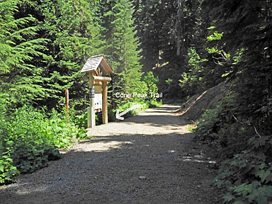
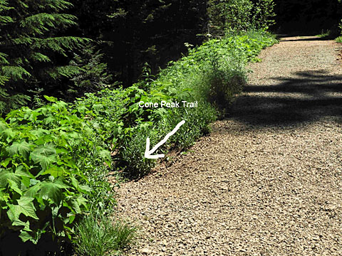
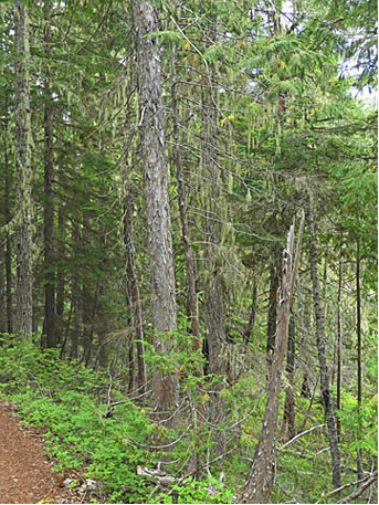
Start along the Tombstone Pass Nature Trail. Halfway along the nature trail (a little less than 0.4 miles) Cone Peak Trail connects on the left. The trail soon crosses Highway 20 (CAUTION) and heads uphill through a mature forest. |