|
|
| HOME | PROTECTION | NATURE | PLAN YOUR VISIT | FAQ | JOIN/DONATE | ABOUT |
| DOIN' THE DOUG - TRAIL GUIDES |
|
Crescent Mountain Trail
|
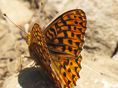
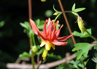
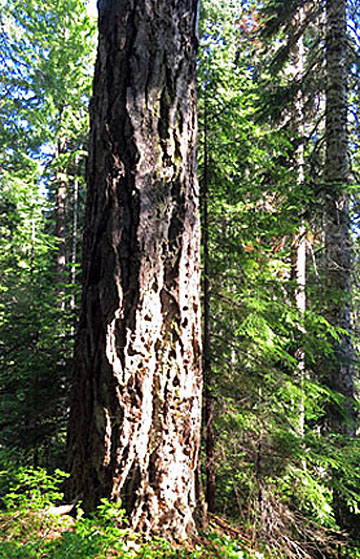 Photos courtesy of Glenn Van Cise |
  |
| Length: 8 miles Difficulty: Difficult Elevation Gain: 3,500 - 5,500 feet [WS 13] Forest Service Trail # 3384 Site: Crescent Mountain |
| This trail begins with a gentle drop down toward Maude Creek,
through an old-growth forest. After you cross Maude Creek (on a
bridge), you begin to climb through switchbacks in the forest. After
about 2.7 miles, you will emerge from the forest into meadows that
provide displays of wildflowers in the spring. If you remember to
look up you will notice that you are walking along a crescent ridge
that provides increasingly great views of the old Cascades, and the
peaks of the new Cascades. Be careful along the ridge, there are
cliffs to the right as you head toward Crescent Mountain. Crescent Mountain is the identified culmination of this trail, but it is a part of the Old Cascades Trail - developed by the Sweet Home Ranger District - that continues. The Old Cascades Trail goes on past the "end" at Crescent Mountain for at least another 5 miles. This portion goes first further along the ridge and then down the north side to the South Pyramid Creek trailhead, where you can pick up on the South Pyramid Creek Trail. |
Directions: Turn north off Highway 20 at mile 70.9, about 41.8 miles east of Sweet Home, onto Forest Road 2067 (Lave Lake Road). Continue past the SnowPark on Lava Lake road 1 mile, and turn left on spur 508. Drive one half mile (0.5 miles) to the trailhead on the right. |