| HOME | PROTECTION | NATURE | PLAN YOUR VISIT | FAQ | JOIN/DONATE | ABOUT |
|
Shedd Camp Trail
|
| Length: 0.75 mile one way Difficulty: Easy (but note the elevation change) Elevation change: approximately 500 feet down on the trail to Shedd Camp Shelter Described by William Sullivan as part of number 110. |
| This is not an official trail in anyone's list of trails. It is
the first part of the Chimney Peak Trail, but it does not go into
the wilderness. It instead stops at the Middle Santiam River. This
portion of the trail is a short day hike. It starts at the end of
Forest Road 2041-646 spur, in a clearing in a very tightly packed
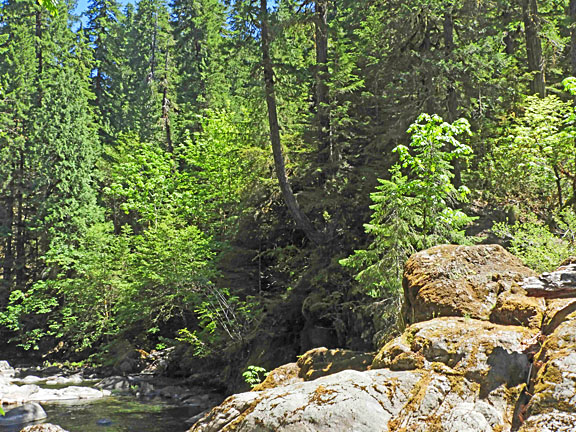
young plantation forest. The trail quickly descends into a middle
aged forest, which has been partially thinned. As the trail descends
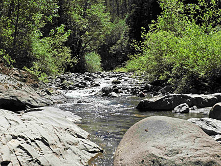
it gets into a mature, old-growth forest. You will cross a small creek flowing through the forest. 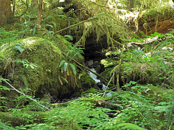
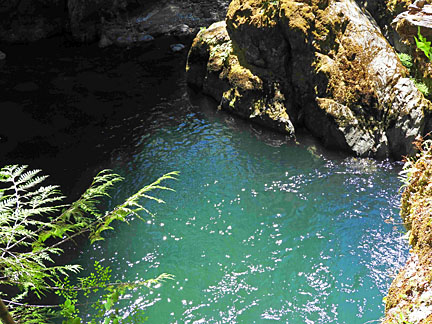
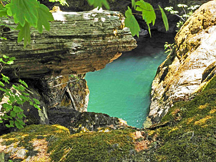
The Shedd Camp Shelter is a small shelter just off the trail. The trail continues down to the Middle Santiam. A beautiful green pool is to the left of the trail.
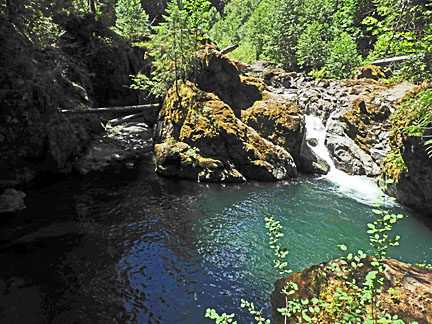
Above the falls the river runs through rocks, and then drops into the pool. Across the river is the Middle Santiam Wilderness.
|
Directions: From Sweet Home Ranger District office in Sweet Home: travel east on Highway 20 for 23.1 miles (Highway mile 52.5) turn left on forest Road 2041 (Soda Fork Road). Stay on 2041 for 12 miles to spur road 646 and turn right and follow the spur to the end. The trail head is on the southern side of the parking area at the end of road 646. William Sullivan notes that Soda Fork Road branches at 0.9 miles; take the left fork for 7.1 miles to a 6 way junction in a pass. Go straight on road 2041 for 4.5 miles to a 3-way fork. Take the middle route, road 646, for 0.6 miles to its end at the trail head. |