|
|
| HOME | PROTECTION | NATURE | PLAN YOUR VISIT | FAQ | JOIN/DONATE | ABOUT |
| DOIN' THE DOUG - TRAIL GUIDES |
|
Tombstone Nature
Trail
|
| Length: 0.7 mile loop Difficulty: Easy Elevation Gain: 4,160 - 4,241 feet Forest Service Trail #3420 Site: Tombstone Nature Trail |
 |
 |
| The Forest Service has made an interpretive brochure to help
visitors appreciate the history and ecology of Tombstone Pass. These
are hard to find, perhaps because those who use it take it with them
rather than returning it to the trailhead, but you don't need it to
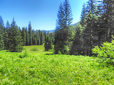
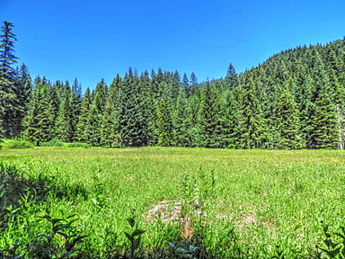
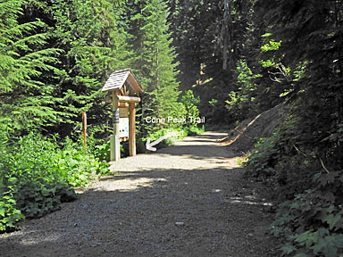
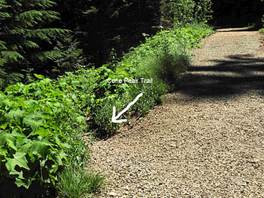
enjoy the scenery of the trail. The tombstone of Tombstone Pass is a marking for where James A. McNight, a local valley boy, accidentally killed himself with his own rifle in 1891. A replica of the tombstone stands at the site, but is also hard to find. The prairie is home to a rich community of wildflowers and was a popular stopover for travelers on the Old Santiam Wagon Road. The Nature Trail, also called the Tombstone Meadows Trail, starts in companion with the Cone Peak Trail from the Tombstone Pass parking area, as an easy to overlook branch off the wide Santiam Wagon Road Trail just past the trail map at the end of the Tombstone Pass parking area. |
 |
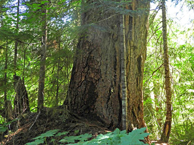 |
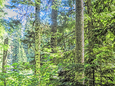
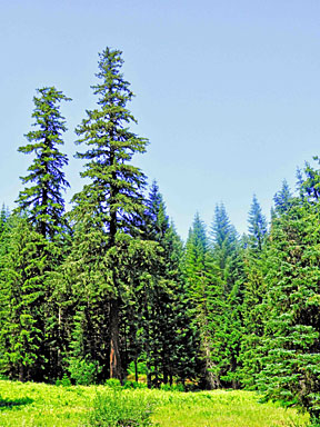
| The trail starts off through a mixed stand of trees, some younger,
some older and larger. Just as you start to get to the meadow, the Cone Peak Trail branches off uphill to the left, climbing quickly up to the highway. By the time you get to the fork where the Cone Peak Trail branches, you will probably have walked past the place where the loop around the meadow rejoins the trail. If you notice the loop rejoining the trail downhill to the right, which is unmarked, the best advice is to keep on the "main" trail, on past the Cone Peak fork. The part of the loop that comes up here to rejoin the trail is, in several parts, very overgrown and it is sometimes hard to find the trail as it goes through the shrubs and small trees. If you are going to push through this it seems easier to be going uphill, because if you take what seems the easiest way through, you will probably be on the trail, and, in any event, you will eventually find the trail as long as you keep going uphill. |
 |
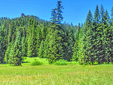 |
| The trail goes past the Cone Peak Trail fork down along the edge of the meadow. From the bottom of the meadow there are some great views, including Iron Mountain above the trees. |
 |
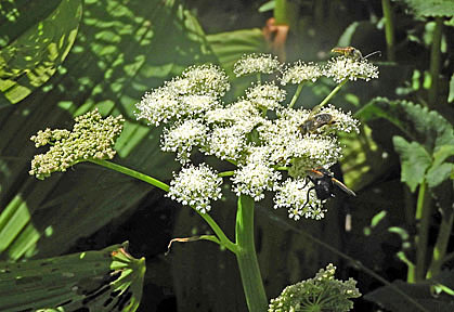 |
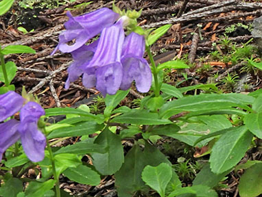
| There are lots of flowers in the Tombstone Meadows. They are more hidden amidst the grass, and so they don't stand out like Cone Peak or Iron Mountain, but they are there. |
| Directions: From Sweet Home, travel east on Highway 20 for 35
miles. Parking is at the Tombstone Pass SnoPark, to the right of
Highway 20. The trail leaves from the back of the parking area on
the left. |
 |
 |